Mission Team

Principal Investigators

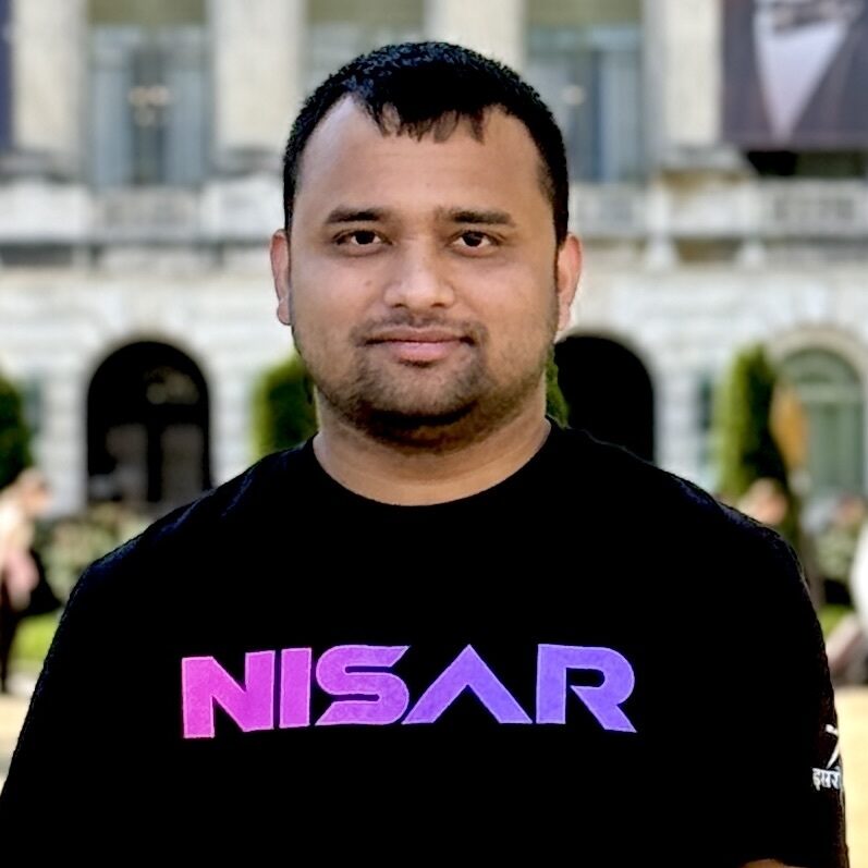
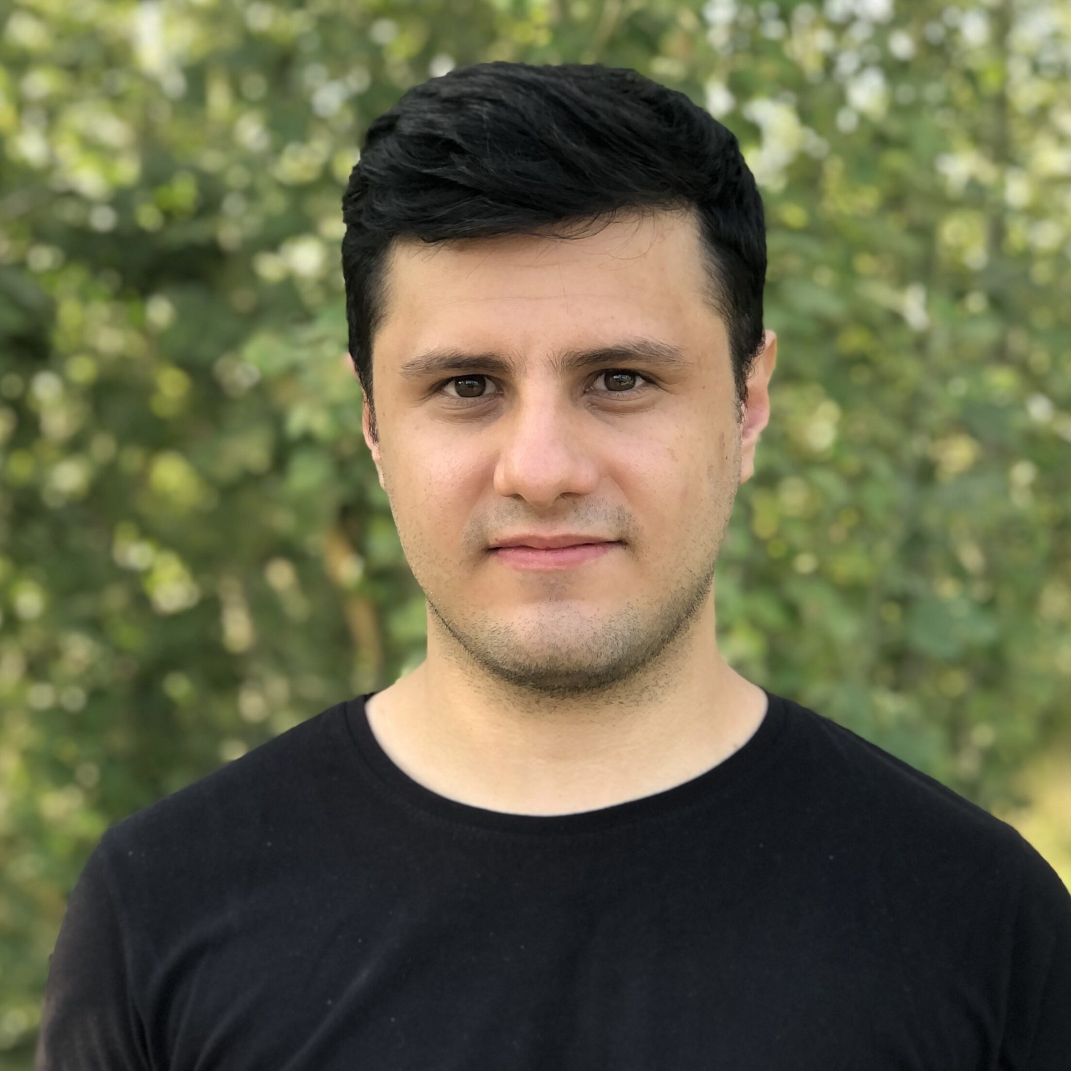
Ralph Dubayah

(Principal Investigator)

Professor of Geographical Sciences at the University of Maryland

Dr. Dubayah is the Principal Investigator for the GEDI mission. He has taught at the University of Maryland, College Park since 1990, after earning his PhD from the University of California. His research interests are in the areas of remote sensing, carbon modeling, biodiversity, and surface energy and water balance studies. A common goal of his research is to develop and apply emerging technologies of spatial data acquisition and analysis to address environmental issues at policy-relevant scales. He has been a principal investigator for over 25 NASA projects, including two Interdisciplinary Science Investigations (IDS).  

dubayah@umd.edu

J. Bryan Blair

(Deputy Principal Investigator and Instrument Scientist)

Lidar Instrument Scientist at NASA Goddard Space Flight Center
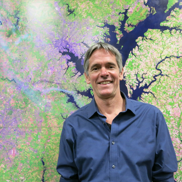
Blair has more than 25 years of experience developing advanced laser altimeters, lidar measurement applications and algorithms, including LVIS and SLICER, demonstrating the waveform lidar technique for measuring vegetation structure. He leads the overall GEDI lidar sensor design and continues to work to ensure the science requirements will be met by the GEDI lidar design and implementation.

bryan.blair@nasa.gov

Scott Goetz

(Deputy Principal Investigator)

Professor at Northern Arizona University

Dr. Goetz is NAU Professor in informatics and computing, studying satellite remote sensing applications in environmental science. He has a lead role in exploring the potential of GEDI for ecosystem research, particularly canopy structure as it relates to habitat and biodiversity.

Scott.Goetz@nau.edu

Co-Investigators

George Hurtt

(Co-Investigator)

Professor at University of Maryland

Dr. Hurtt is interested in the theory and application of community and ecosystem ecology. His research is focused on the use of data and models to reduce uncertainties in terrestrial carbon stocks and fluxes. He leads the investigation of GEDI’s demonstrative product on using GEDI derived structure in the Ecosystem Demography (ED) model to constrain biomass modeling.

gchurtt@umd.edu

Matt Hansen

(Co-Investigator)

Professor at University of Maryland

Dr. Hansen is a remote sensing scientist with a research specialization in large area land cover and land use change mapping. Within the GEDI science team he leads the demonstrative product of integration of the Landsat forest cover change product with GEDI’s biomass product, quantifying biomass loss over time.

mhansen@umd.edu

Sean Healey

(Co-Investigator)

Research Ecologist at the US Forest Service

Dr. Healey is in charge of the algorithms of GEDI’s gridded biomass product (Level 4B product), exploiting his experience in the use of different types of remote sensing data for monitoring forest carbon with remote sensing data.

seanhealey@fs.fed.us

Michelle Hofton

(Co-Investigator)

Research Professor at University of Maryland

Dr. Hofton has worked with full-waveform airborne lidar data for the last two decades, leading deployments of NASA’s Land Vegetation and Ice Sensor (LVIS), GEDIs airborne predecessor. She therefore has extensive experience in processing waveforms and plays a key role in turning GEDI’s return signal into lidar waveforms with indicated ground and vegetation height.

mhofton@umd.edu

Lola Fatoyinbo

(Co-Investigator)

Research Scientist at NASA Goddard Space Flight Center

Dr. Fatoyinbo lead NASA’s AfriSAR campaign in Gabon in 2016: an effort to collect unprecedented calibration/validation information for future spaceborne missions to estimate biomass, such as GEDI and NISAr, opening a gate-way to radar/lidar fusion.

lola.fatoyinbo@nasa.gov

Jim Kellner

(Co-Investigator)

Assistant Professor at Brown University

Dr. Kellner is a biologist and remote sensing scientist at Brown University with experience in the application of lidar to quantifying forest structure and changes. He is leading the development of algorithms for GEDI’s footprint aboveground biomass data product (Level 4A). Dr. Kellner is also contributing to calibration and validation activities.

kellner@brown.edu

Scott Luthcke

(Co-Investigator)

Geophysicist at NASA’s Goddard Space Flight Center
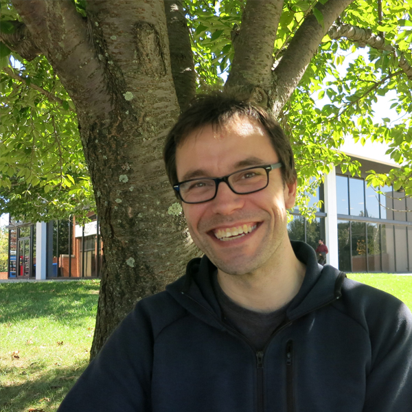
Scott is the lead of the Science Operations Center, as well as the Level 1B and 3 products.  He is responsible for all geodetic aspects of the mission, including the precise geolocation of the altimeter surface returns, as well as mission sampling.

scott.b.luthcke@nasa.gov

Laura Duncanson

(Co-Investigator)

Assistant Professor at University of Maryland

Dr. Duncanson is a remote sensing scientist focused primarily on modeling and mapping biomass, biomass change, and individual tree structure. On the GEDI team she plays a key role in the development of the footprint Level 4A biomass algorithms, and the management of the GEDI cal/val database of global field and airborne lidar datasets.  

lduncans@umd.edu

John Armston

(Co-Investigator)

Associate Research Professor at University of Maryland

Dr. Armston is interested in the quantitative measurement and mapping of forest and woodland structure using spaceborne remote sensing in combination with a wide range of in situ and airborne measurement technologies. He’s co-leading development of vertical canopy profile and above-ground biomass data product algorithms, and the GEDI calibration and validation plan.

armston@umd.edu

Research Scientists

Paul Patterson

Statistician at US Forest Service (Retd.)

Dr. Patterson assists Dr. Healey with the Level 4B biomass product algorithms, analyzing the statistical procedures going into the conversion of the footprint level biomass product (4A) to a gridded product (4B).

Steven Hancock

Lecturer at University of Edinburgh

Dr. Hancock uses his extensive knowledge of radiative transfer modelling and programming expertise to model GEDI waveforms from a variety of airborne and terrestrial lidar datasets in order to calibrate and validate GEDI data algorithms.

steven.hancock@ed.ac.uk

Patrick Jantz

Assistant Research Professor at Northern Arizona University

Dr. Jantz studies the vulnerability of forest ecosystems to climate and land use change using remote sensing data. GEDI lidar data plays a key role in his research as it will provide much needed structural information for characterizing habitat and biodiversity.

Patrick.Jantz@nau.edu

Patrick Burns

Research Specialist at Northern Arizona University

Patrick previously worked for an airborne remote sensing company, specializing in lidar and hyperspectral data acquisition, processing, and analysis. His contribution to the GEDI project focuses on using (simulated) GEDI waveforms to model faunal and floristic biodiversity.

pb463@nau.edu

Danielle Rappaport

Assistant Research Professor at University of Maryland

Danielle brings interdisciplinary expertise in forest ecology, remote sensing, and nature markets. She holds a Master of Forestry from Yale University and a PhD in Geographical Sciences from the University of Maryland. As part of the GEDI team, Danielle focuses on developing decision-support tools to navigate trade-offs, risks, and opportunities in competing land use priorities. Her research centers on practical science for optimizing ecosystem regeneration, with a focus on innovative techniques for measuring biodiversity recovery and ecosystem function.

drappap@umd.edu

Wenlu Qi

Postdoctoral Associate at University of Maryland

Qi’s research focuses on the use of lidar, in fusion with radar data, to estimate biomass and other important ecosystem structural variables. Together with Fatoyinbo and Lee, she investigates fusion between Tandem-X radar data and GEDI data to estimate biomass.

wqi@umd.edu

David Minor

Research Specialist at University of Maryland

David Minor has a background in forest ecology. He studied community and ecosystem dynamics using both traditional and lidar approaches to measure forest structure. On the GEDI team, he works with Dr. Armston and Dr. Duncanson to manage the calibration and validation database of global field and airborne lidar datasets.

minord@umd.edu

Adrián Pascual

Assistant Research Professor at University of Maryland

Dr. Pascual is contributing to GEDI mission on cal/val studies oriented to refine L4A & L4B biomass estimates using multi-source forest inventory methods such as terrestrial and airborne laser scanning. Dr. Pascual is also contributing to GEDI mission extension activities.

apascual@umd.edu

Jamis Bruening

Postdoctoral Associate at University of Maryland

Jamis is a postdoc researcher and forest ecologist, interested in forest dynamics and succession in temperate forests.  His work integrates remote sensing, forest inventory, and ecosystem modeling.  Jamis assists with GEDI L4A and L4B mission activities, and also leads GEDI-related efforts at UMD-GEOG to identify, map, and monitor old-growth forests in the United States, as part of an interagency collaboration with scientists at NASA, the United States Forest Service, and Harvard Forest.

jamis@umd.edu

Matheus Nunes

Assistant Research Professor at University of Maryland

Lin Xiong

Assistant Research Professor at University of Maryland
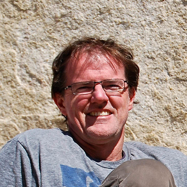
Lin is a remote sensing scientist focusing on coastal and wetland ecosystems. He has extensive expertise in utilizing terrestrial, airborne, and spaceborne lidar sensors to map forest structures, quantify carbon stocks, and monitor coastal erosion and landslides. Within the mission team, he is working on the development of algorithms, data fusion, calibration, and validation for GEDI products.

Graduate Students

Tiago de Conto

PhD Candidate at the University of Maryland

Tiago started his PhD in 2020 and has a background in LiDAR applied to forest inventory and software development.  He is a research assistant at UMD working on projects related to cal/val of the GEDI L2 level products and has been a FINESST fellow since 2022.  His dissertation work is focused on modeling and mapping forest structural complexity using GEDI data.

tiagodc@umd.edu

Padmageetha Nagarajan

PhD Student at the University of Maryland

Padmageetha started her PhD at UMD in 2024 and has a background in geoinformatics, specializing in utilizing remote sensing for natural resources management. She works as a research assistant studying forest disturbance using GEDI data. For her dissertation, she aims to leverage GEDI and radar data to understand the structure of forest ecosystems.


Levi Madenberg

PhD Student at the University of Maryland

Levi began his PhD at UMD in the fall of 2021 and has a background in environmental science, remote sensing, and geospatial analysis.  He joined Maxar’s Remote Sensing Earth Science Team in 2020 and has worked on developing a range of commercial landcover and change detection products, primarily using Maxars 2m WorldView imagery and 50cm digital elevation models. Through collaboration with GEDI as a PhD student, Levi’s research focuses on leveraging high resolution optical imagery and 3D data through machine learning to create and improve biomass models.

lmadenbe@umd.edu


Luke Wertis

PhD Student at the University of Maryland

Luke started his PhD in 2023 and has a background in physics and geospatial analysis. He is working as a research assistant on GEDI partaking in cal/val efforts, and he plans to use GEDI data products in his dissertation work investigating forest ecosystem structure and vulnerability.

wertisml@umd.edu

Mohammad Aghdami-Nia

PhD Student at the University of Maryland

aghdami@umd.edu

Affiliated Scientists

Chengquan Huang

Research Professor at University of Maryland

Chengquan Huang has devoted over a decade to studies of land cover and vegetation dynamics using remotely sensed data. He investigates the use of GEDI’s biomass product in combination with the Landsat forest cover change product to estimate forest regrowth rates after disturbance.

cqhuang@umd.edu

Crystal B. Schaaf

Professor at University of Massachusetts Boston

Dr. Schaaf has extensive first-hand science experience with different NASA missions as a team member on the MODIS and VIIRS science teams. She is also active in the field of Terrestrial Laser Scanning (TLS), using point clouds to characterize biomass and vegetation structure for carbon stock monitoring. TLS point clouds can be used to calibrate and validate the GEDI biomass product.

crystal.schaaf@umb.edu

Outreach and Admin

Talia Schwelling

Faculty Specialist at the University of Maryland

Talia joined the GEDI team in 2022 and has a background in wildlife research, environmental science and policy, and community building initiatives.  She coordinates GEDI mission outreach and manages various administrative needs including, but not limited to, budgeting and proposals, procurement, and event, travel, and field campaign logistics.

tschwell@umd.edu

Simple Share Buttons